top of page
Normoyle-Normile in the World
including Normyle, Normoile, Normill, etc.
Mac Giolla Mhaoil,
anglicised to Normile or Normoyle
MAPS
I have uploaded some maps of old Ireland with an 1766 and 1808 selection. I also included some townland, Poor Law Union (Probate District), and an 1853 map of County Clare. I am working on obtaining map selections from county Limerick, where another large portion of Norms made their home.

COUNTY CLARE MAP 1837
DISPENSARY MAP

REGISTRAR DISTRICTS MAP OF IRELAND

1808 IRELAND MAP

JOHNSON ALEXANDER KEITH MAP OF CLARE 1861

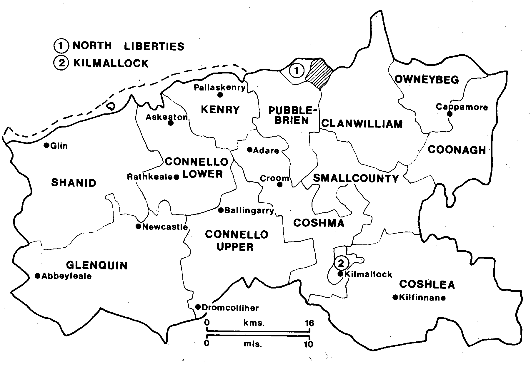
LIMERICK BARONIES
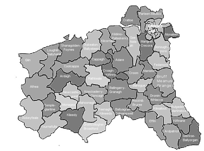
LIMERICK CATHOLIC PARISHES
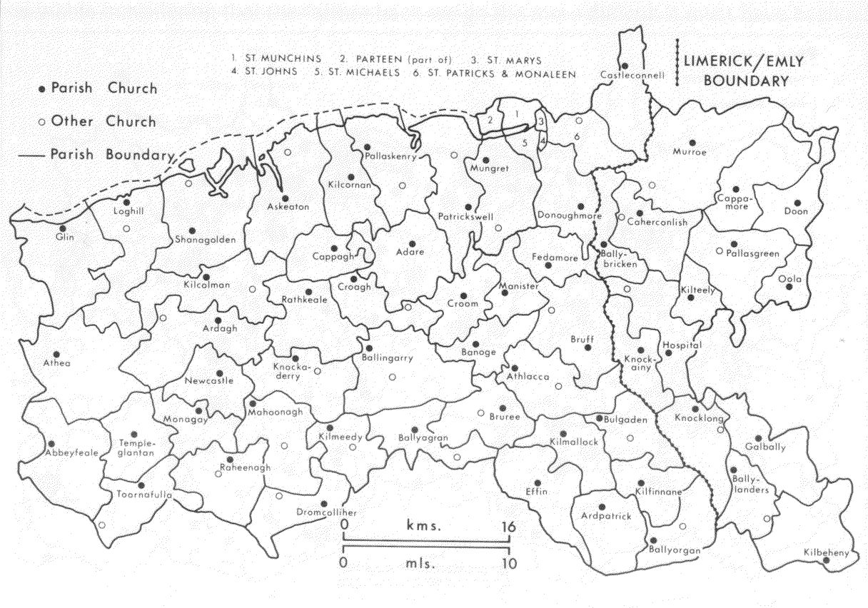
LIMERICK CIVIL PARISHES

LIMERICK ROMAN CATHOLIC PARISHES
CLARE POOR LAW UNIONS


GPS LOCATIONS FROM GRIFFITH'S VALUATION FOR COUNTY CLARE

GPS LOCATIONS OF ALL NORMS IN COUNTIES LIMERICK AND KERRY

GPS LOCATIONS OF ALL NORMS FROM THE GRIFFITH'S VALUATION
bottom of page